Image
Armas Pequeñas
Debido a que se obtienen y utilizan con facilidad, las armas pequeñas y las armas ligeras han constituido los instrumentos de violencia principales o únicos en casi todos los conflictos recientes de...
Debido a que se obtienen y utilizan con facilidad, las armas pequeñas y las armas ligeras han constituido los instrumentos de violencia principales o únicos en casi todos los conflictos recientes de...
Global International Waters Assessment
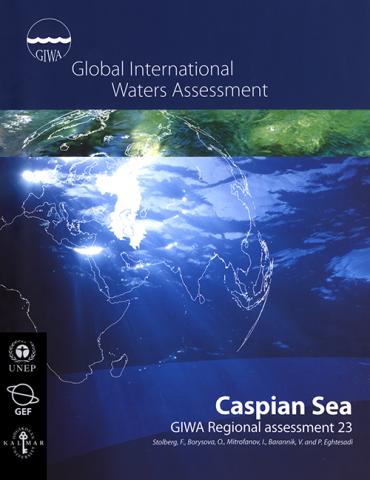
Caspian Sea
This report presents the GIWA assessment of the Caspian Sea – the largest land-locked water body on earth, bordered by five countries and influenced by three more in the catchment area. The assessment...
This report presents the GIWA assessment of the Caspian Sea – the largest land-locked water body on earth, bordered by five countries and influenced by three more in the catchment area. The assessment...
Global International Waters Assessment
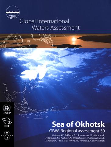
Sea of Okhotsk
This report presents the results of the GIWA assessment of the Sea of Okhotsk region. Rapid population growth and economic development have led to increasing pollution loads in the Amur River basin...
This report presents the results of the GIWA assessment of the Sea of Okhotsk region. Rapid population growth and economic development have led to increasing pollution loads in the Amur River basin...
Global International Waters Assessment
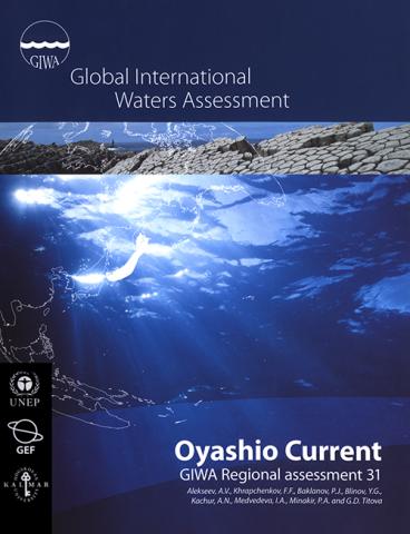
Oyashio Current
This report presents the results of the GIWA assessment of the Oyashio Current region – one of the most productive waters in East Asia. Changes in the hydrological cycle and ocean circulation have...
This report presents the results of the GIWA assessment of the Oyashio Current region – one of the most productive waters in East Asia. Changes in the hydrological cycle and ocean circulation have...

Global International Waters Assessment
East African Rift Valley Lakes
This report presents the assessment of Lakes Turkana, Tanganyika, Victoria and Malawi – the largest of the East African Rift Valley Lakes and among the oldest lakes in the world. The lakes are...
This report presents the assessment of Lakes Turkana, Tanganyika, Victoria and Malawi – the largest of the East African Rift Valley Lakes and among the oldest lakes in the world. The lakes are...
Global International Waters Assessment
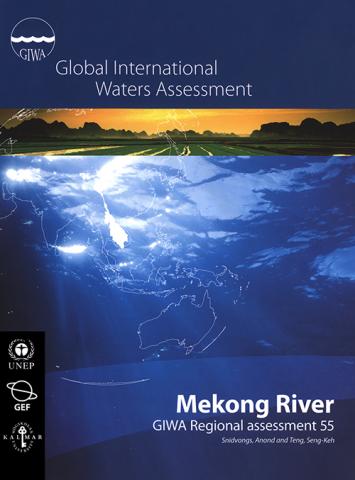
Mekong River
This report presents the GIWA assessment of the Mekong River region. Rapid economic development and population growth are increasing the demand for water, energy and food, necessitating more hydro...
This report presents the GIWA assessment of the Mekong River region. Rapid economic development and population growth are increasing the demand for water, energy and food, necessitating more hydro...
Global International Waters Assessment
Humboldt Current
This report presents the GIWA assessment of the Humboldt Current region. The world’s largest upwelling area, supporting highly productive fisheries, is located within the boundaries of the region. The...
This report presents the GIWA assessment of the Humboldt Current region. The world’s largest upwelling area, supporting highly productive fisheries, is located within the boundaries of the region. The...
Global International Waters Assessment
Eastern Equatorial Pacific
This report presents the assessment of the GIWA Eastern Equatorial Pacific region, which includes parts of Mexico, Guatemala, Honduras, Nicaragua, Costa Rica, Panama and Colombia. Pollution in the...
This report presents the assessment of the GIWA Eastern Equatorial Pacific region, which includes parts of Mexico, Guatemala, Honduras, Nicaragua, Costa Rica, Panama and Colombia. Pollution in the...
Global International Waters Assessment
Caribbean Sea/Colombia & Venezuela, Central America & Mexico
This report presents the results of the GIWA assessment of the Colombia & Venezuela and Central America & Mexico sub-systems. In the Colombia & Venezuela sub-system, coastal habitats are being...
This report presents the results of the GIWA assessment of the Colombia & Venezuela and Central America & Mexico sub-systems. In the Colombia & Venezuela sub-system, coastal habitats are being...

MAP Camp Project MALTA Final Integrated Project Document and Selected Thematic Documents
This publication contains documents relating to the MAP CAMP Malta project, the first exercise in integrated coastal area management within the Maltese Islands. Volume I contains the Final Integrated...
This publication contains documents relating to the MAP CAMP Malta project, the first exercise in integrated coastal area management within the Maltese Islands. Volume I contains the Final Integrated...
Guidelines for the Application of Best Available Techniques (BATs) and Best Environmental Practices...
This document presents guidelines for the application of best available techniques, best environmental practices and cleaner production in general in the major industrial sources of BOD, nutrients and...
This document presents guidelines for the application of best available techniques, best environmental practices and cleaner production in general in the major industrial sources of BOD, nutrients and...

Guidelines for the Application of Best Environmental Practices (BEPs) for the Rational Use of...
The aim of these guidelines is, starting from the characteristics of the Mediterranean Action Plan countries agricultural systems and the environmental problems related to the use of fertilizers in...
The aim of these guidelines is, starting from the characteristics of the Mediterranean Action Plan countries agricultural systems and the environmental problems related to the use of fertilizers in...
Plan on Reduction of Input of BOD by 50% by 2010 from Industrial Sources for the Mediterranean...
The main objective of this study is to formulate a regional plan for the reduction of 50 percent of BOD generated by the Mediterranean coastal industrial activities by the year 2010. This plan is...
The main objective of this study is to formulate a regional plan for the reduction of 50 percent of BOD generated by the Mediterranean coastal industrial activities by the year 2010. This plan is...
Plan for the Reduction by 20% by 2010 of the Generation of Hazardous Wastes from Industrial...
The main goal of this regional plan is the reduction by 20 percent by 2010 of the generation of hazardous waste from industrial installations in the Mediterranean Action Plan countries. In order to...
The main goal of this regional plan is the reduction by 20 percent by 2010 of the generation of hazardous waste from industrial installations in the Mediterranean Action Plan countries. In order to...
Guidelines for the Application of Best Available Techniques (BATs), Best Environmental Practices...
The aim of these guidelines is to provide a methodology of regional scope to facilitate the identification and application of best available techniques, best environmental practices and cleaner...
The aim of these guidelines is to provide a methodology of regional scope to facilitate the identification and application of best available techniques, best environmental practices and cleaner...
Plan for the Management of Hazardous Waste Including Inventory of Hazardous Waste in the...
This document concerns the proposed targets for generation and disposal of hazardous waste under the strategic action programme elaborated and adopted to facilitate the implementation by the...
This document concerns the proposed targets for generation and disposal of hazardous waste under the strategic action programme elaborated and adopted to facilitate the implementation by the...
Guidelines on Management of Coastal Litter for the Mediterranean Region
These guidelines deal with waste in a maritime environment, which can arise from discharges scattered directly to the sea or far from shore and transported by rains, wind and streams up to the sea...
These guidelines deal with waste in a maritime environment, which can arise from discharges scattered directly to the sea or far from shore and transported by rains, wind and streams up to the sea...

Guidelines on Environmental Inspection Systems for the Mediterranean Region
These proposed guidelines are intended to help countries in the Mediterranean region to establish environmental inspection systems or to review existing ones. In this respect, the guidelines are...
These proposed guidelines are intended to help countries in the Mediterranean region to establish environmental inspection systems or to review existing ones. In this respect, the guidelines are...

Reference Handbook on Environmental Compliance and Enforcement in the Mediterranean Region
The purpose of this handbook is to raise the level of performance of the environmental inspectors and support the guidelines established under the LBS Protocol by providing details on assessing...
The purpose of this handbook is to raise the level of performance of the environmental inspectors and support the guidelines established under the LBS Protocol by providing details on assessing...
Guidelines for River (Including Estuaries) Pollution Monitoring Programme for the Mediterranean...
This document, which includes guidelines for the monitoring of rivers’ pollution, constitutes an element for a constructive convergence of exchanged prospects between the countries of the...
This document, which includes guidelines for the monitoring of rivers’ pollution, constitutes an element for a constructive convergence of exchanged prospects between the countries of the...